Updated March 6, 2020
The Route
The Suwon Dulle Gil (Suwon Perimeter Trail) is a 65 kilometer trail that roughly follows the borders of the city of Suwon. You can see a map right here. That’s a My Maps page, so you should be able to export a GPX or KML file. If that’s not possible just let me know and I’ll email you a file.
The route is about 35 kilometers through the hills in the north and west of the city, about 5 kilometers though some pleasant parks in the east, and about 25 kilometers of city running. It’s a nice tour. You don’t need to start with much water, as there are a ton of convenience stores whenever you enter a city part, or reach the bottom of a mountain.
The highest peak is 582 meters. When I ran the trail, Strava reported about 1600 meters of elevation gain.
There are some maps along the trail which state that the entire route is 60 kilometers. They are incorrect.
You can start the run anywhere, obviously. Subway stations close to the route include:
- Sungkyunkwan University (about 50 meters from the route)
Cheongmyeong station (about 50 meters from the route)
- Uiwang Station (about 2 km from the route)
I started at Uiwang Station, and my notes below reflect this.
Markers
Watch for round signs that look like this:

Or signposts that look like this:

There are also purple ribbons here and there. I do recommend using the above map file, as at some points the signs seem to disappear.
Section One (Wangsong Lake to the Jijidaebe Stele)
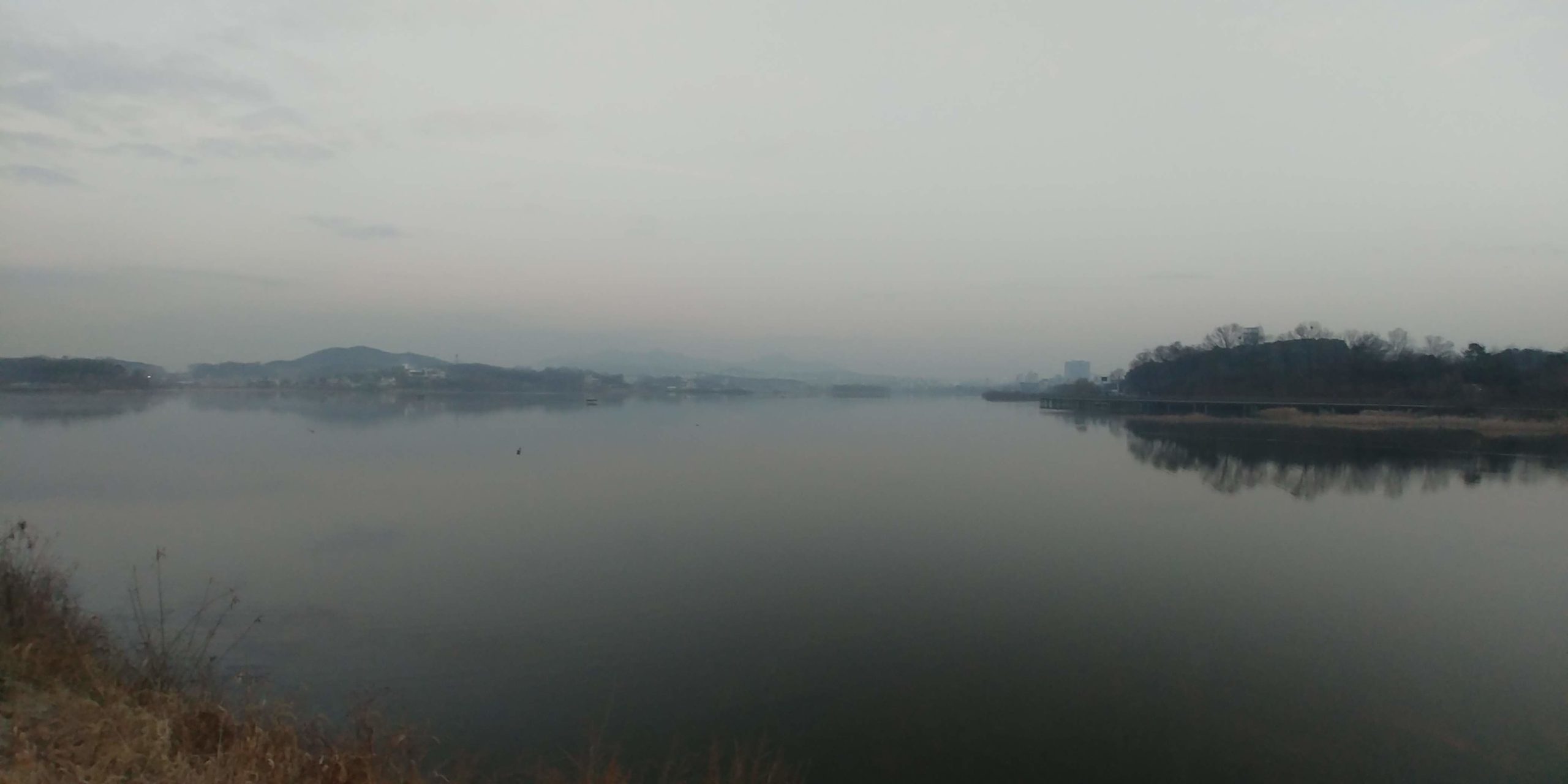
Wangsong Lake is a pretty spot to begin and end the run. In the spring there are cherry blossoms, and in the fall and winter you’ll see a lot of migratory birds.
Start at the south-east corner of the lake and head along the path beside the apartment buildings. After a couple of kilometers of city running (there are plenty of convenience stores here if you need food or water) you’ll enter some woods. At one point, you’ll take a pedestrian crossing across the highway. There are lots of tombs through this portion of the trail, which I find pretty interesting. This 10 km stretch is one of my favorite trails in Korea as it is always quiet and clean. If you are really lucky you might see a deer here.
Along this section, keep an eye out for signs indicating when you pass by segments of the “Korea Trail” that runs the entire length of the country (north to south).
This section ends when you reach the Jijidaebe Stele, which includes an explanation in English of its historical importance.
Wangsong Lake in the morning:
The Jijiedaebi Stele:

Section Two (Gwanggyosan Mountain)
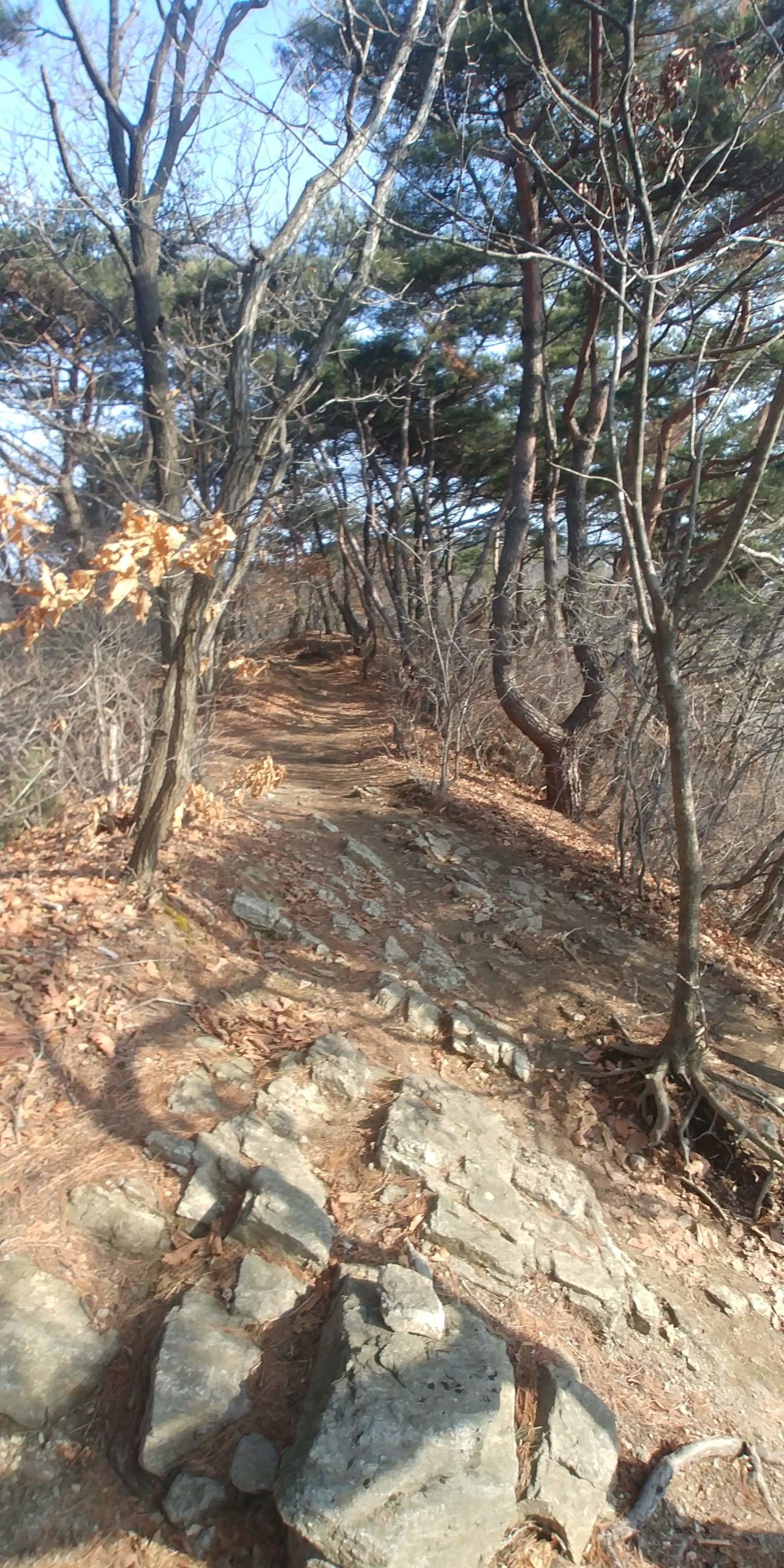
Head down the steep steps from the Jijidaebi. The signs say that you should go right (where you will find a convenience store, tourist info window and great toilet) but construction has sort of wrecked the old crosswalk there. Instead, turn LEFT and run along the highway for 500 meters. Take the pedestrian crossing near the gas station and go back 500 meters in the direction you just came from. Soon you’ll spot the French War memorial. There are good toilets on this side as well. Follow the signs through the tunnel and head up the mountain. Get ready for a long uphill slog and keep an eye on the markers. Look out for nice viewpoints, pretty pavilions, a helicopter landing site, US military installations and a noisy cat that I’ve seen up here a few times.
A Rocky Trail on Gwanggyosan Mountain:
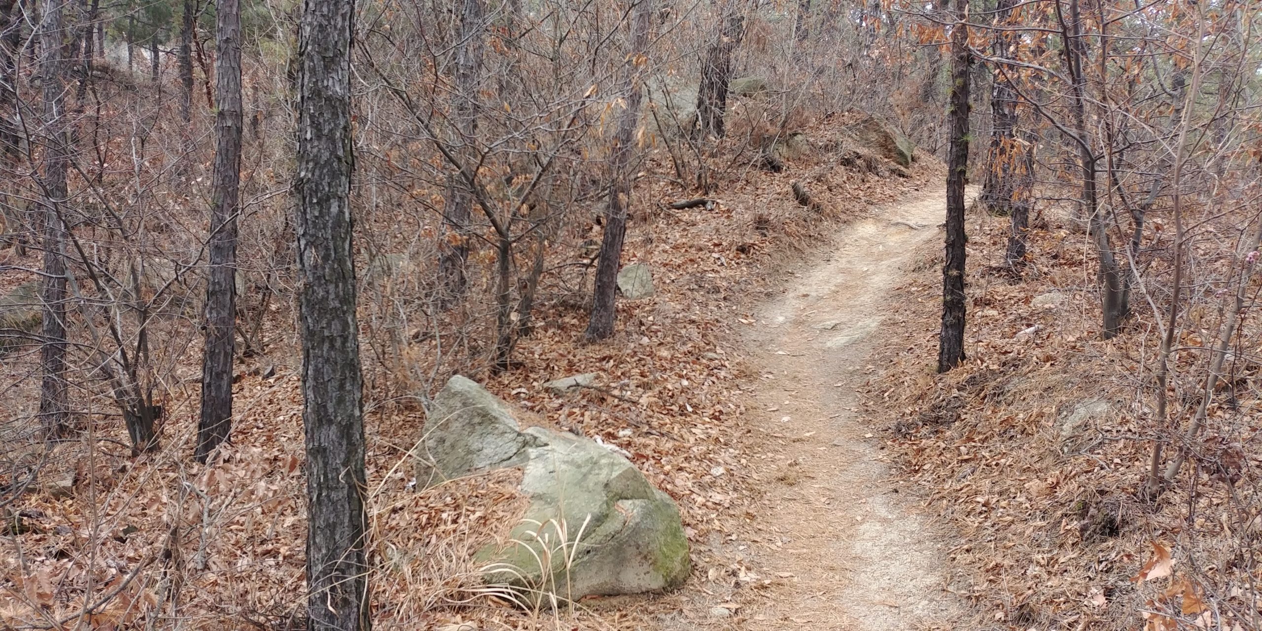
Section Three (Gwanggyo Lake Park)
After about 20 kilometers you’ll leave the mountain and enter a pretty bunch of parks clustered around a couple of lakes. They are typical Korean parks, but still very nice. Families like them. Suwon has an annual jazz festival here every August, which I recommend. An annual trail race (March or April) through Gwanggyo and Baegun Mountains begins around here as well. It’s alright, if you are into that sort of thing. You’ll exit the parks by running along a river that heads into the city.
One of the parks:

Section Four (The City)
Get ready for some city running. Hey, at least you’ll get a taste for what Suwon is like outside of the tourist spots. There is a large HomePlus at the beginning of this section, and obviously a ton of food and water stops along the way. Near the end, you’ll get a really close look at Suwon Airbase (if you run before it shuts down around 2027), which is pretty cool. This section ends at a rather shabby industrial section of Suwon.
Section Five (Hwanggujicheon to Chilbosan Mountain and End)
Eventually you’ll leave the industrial part of Suwon and start running along the Hwanggujicheon River for a bit. If you run this part on a weekday afternoon you’ll likely see Korean air force jets buzzing around overhead. They come in damn low around here.
Follow the signs and make a left turn up towards Chilbosan Mountain. This is a much easier mountain, as the altitude is only about 250 meters. Keep an eye on your map as there is a “natural” highway crossing here which is not properly signposted.
Keep an eye out for a military shooting range, some tombs and some really great lookout points on the mountain. If you come on the weekend you might be able to buy a cup of makkoli from a vendor on the trail.
Coming down from the mountain you’ll pass by a Catholic cemetery. Then you’ll pass by some farms and stuff before ending up back where you started, at Wangsong lake. Congratulations!
Tombs:

Trail on Chilbosan:
Next?
A lap around Wangsong Lake is always nice. That’s about five more kilometers. If you want to turn this into a real ultramarathon you can run from here into Seoul on a very nice route. That will add another 33 kilometers (or about 45 if you go all the way to the Han River). Let me know if you need a map.
